|
Gullspång
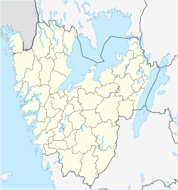
Gullspång is a locality and one of two seats of the Gullspång Municipality in Västra Götaland County, Sweden. As of 2010 it had 1,167 inhabitants.[1] HistoryGullspång provided the name for a new municipality created through the local government reform of 1971, but the administration was placed in the more centrally located Hova, with just some minor offices in Gullspång. Due to the long lasting rivalry between Gullspång and Hova the municipality avoids the term centralort (seat). Instead they are called the municipality's two main localities. EconomyA major employer found in Gullspång is Partex Marking Systems, a company that manufactures markers for cables. In Gullspång, Fortum also has a hydroelectric power plant using the water from the Skagern river to produce electricity. Fortum is quite a large employer in the town of Gullspång. Vänerhamn AB, which has cargo ports around the entire Vänern, is a port of Otterbäcken. The port transports several million tonnes of freight each year. Notable peopleFrom 1939 to 1954, author Frans G. Bengtsson lived in Ribbingsfors Mansion, just outside Gullspång. There he wrote many of his works and left behind many books, writings, and notes which are now located in a designated area of the municipal library.
SalmonIn central Gullspång is a salmon-stair which was built in 2004. It was built to increase the population of the local Gullspång salmon ("Gullspångslax"). The salmon-stair was made possible by the installation of flood gates which filled the dry area with water from the Gullspångsälven river. ReferencesWikimedia Commons has media related to Gullspång.
|
||||||||||||||||||||||||||||||||||||


